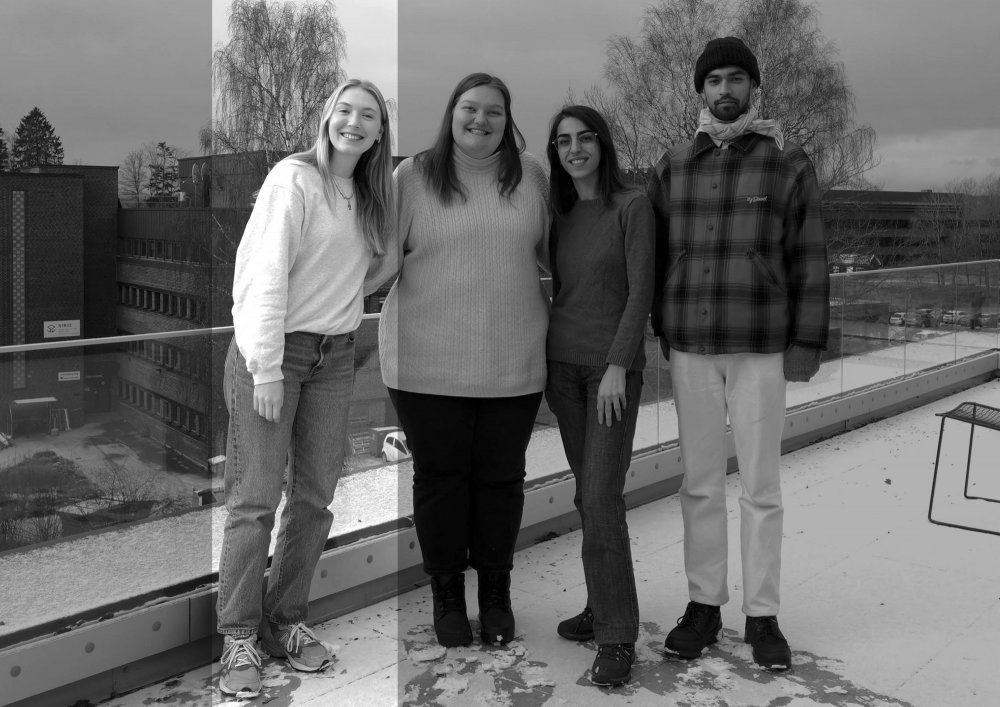
GLA302 Student Exhibition Autumn 2022
Post-flood design for the Ahr Valley (D)
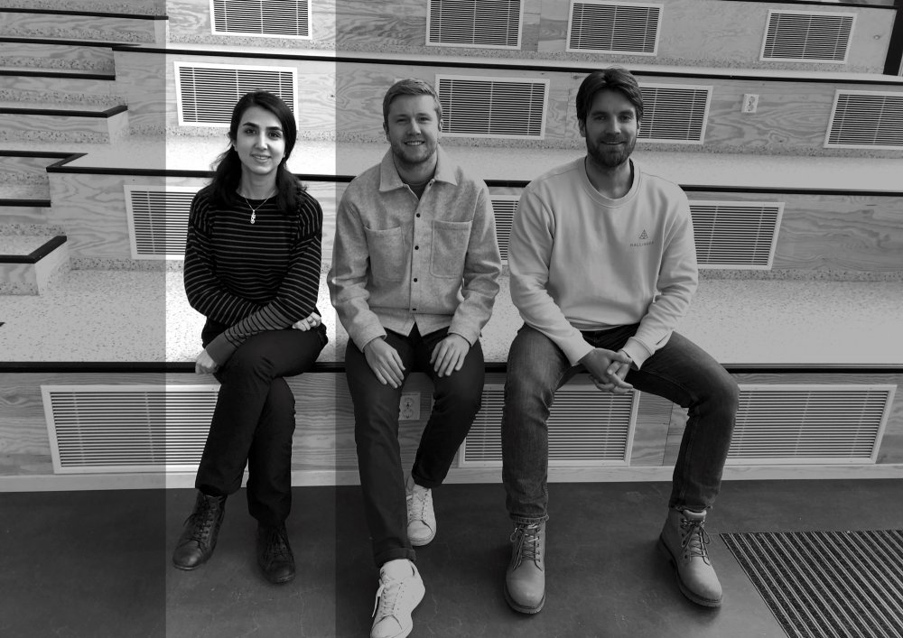
Studio GLA302
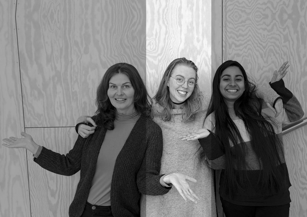
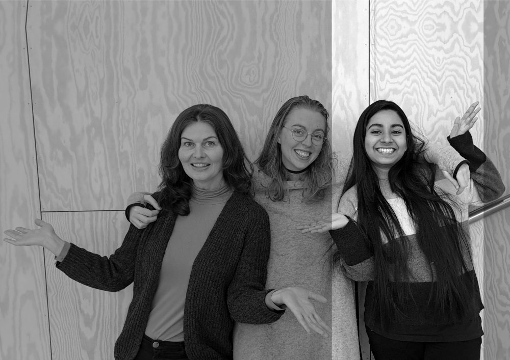
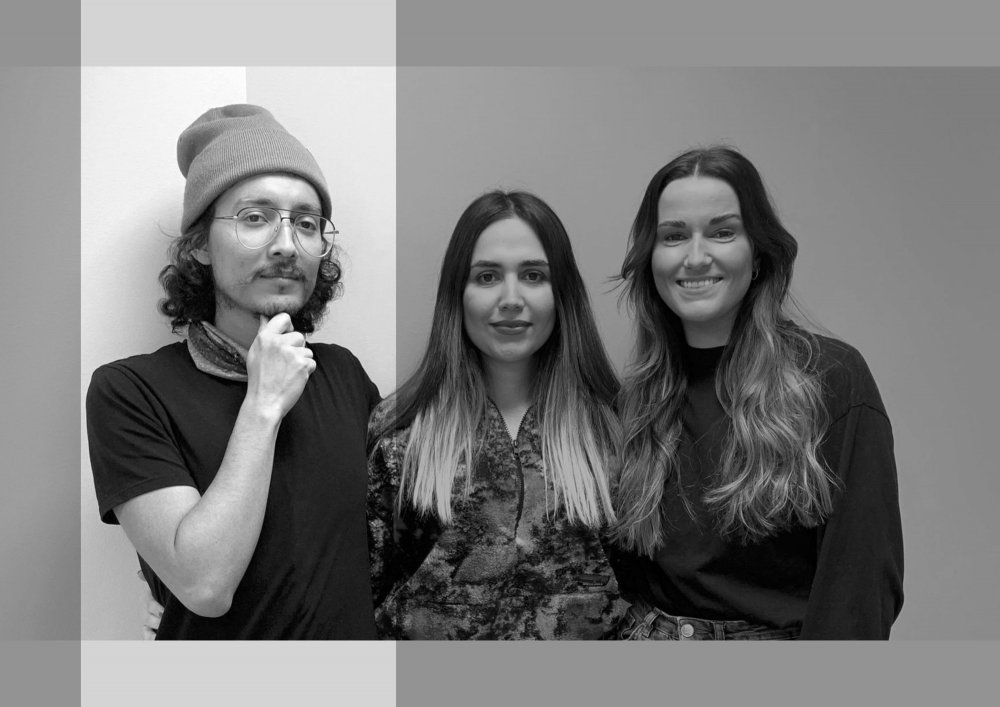
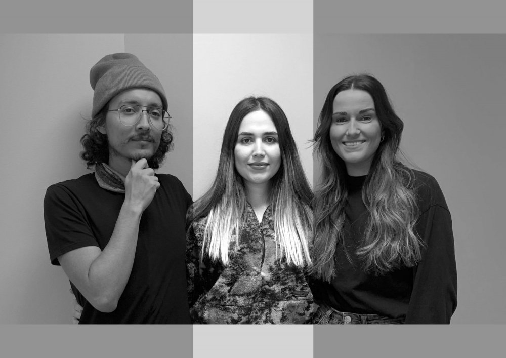
Students:
Kristine Andersen, Lajla Bækø, Andres Rodrigo Diaz Vasquez, Kari Straume Enerstad, Fouzhan Fallah Kouhi, Bendik Corneliussen Fiske, Seyede Mahsa Ghadimi Taklimi, Alicia Jassner, Sarah Marie Karlsen, Ingvild Alseth Moland, Ayesha Siddiqua Nedhie, Semming Graff Nygård, Pegah Rezai Jahromy, Helia Sadeghianfar, Sofie Hellevang Saltskår, Mahsa Sardarabadi, Benjamin Shetelig, Sebastian Guha Skjulhaug, Kristian Solgård, Farah Tasnim, Gnaala Zcirthy Meenilankco Theiventhran, Elisabeth Theodora van Duijn
Tutors:
Maria Gabriella Trovato and Jörg Rekittke
The studio
Our team tackled the challenge of post-disaster design by identifying strategic interventions for sustainable recovery after the Ahr Valley flood of 2021. Through extensive research and fieldwork, we analyzed the region’s post-disaster context, identified specific challenges, and provided practical recommendations for policymakers, disaster management professionals, and impacted communities. By addressing the root causes of post-disaster amnesia, we aim to ensure that the Ahr Valley and other regions impacted by natural disasters can recover sustainably, resiliently, and equitably. Our research outcome is innovative and persuasive, providing a roadmap for promoting long-term resilience and sustainability in disaster-affected communities.
Sara Marie Karlsen:
Change must happen to avoid another catastrophe, but we must try to make this change a positive thing.
Since the river cannot simply be widened along the entire route, we see the solution for the reconstruction of the Ahr Valley in the bundle of small and large measures. Redundancy should be an overriding principle guiding the process. In addition, the residents of the Ahr valley should be heard and have the opportunity to participate in the process. They lived in the valley and experienced what the 2021 flood really was like.
Scroll to view entire presentation:
Kari Straume Enerstad:
The catastrophe changed life in the valley. Some people may never move back, some will build again, and some don’t know what to do.
The best approach to taking care of the river and people is to spread multiple interventions across the valley. Combined flood prevention, control and management strategies can be critical to achieve the best impact. Using measures that are maintained before, during and after the flood can help prevent the village from being flooded again. No single measure is strong enough to combat the flood and reduce the damage.
Scroll to view entire presentation:
Seyede Mahsa Ghadimi Taklimi
We realized that one of the main reasons for the damage was that there were many structures in the floodplain that had narrowed the riverbed.
Depending on the possibilities and limits of the valley, different strategies can be implemented in the region. The result is 6 different strategies, each suited to specific areas: Redundancy, Retention/Retention, Flood Control, Watershed Management, Sponge City, and Extended Promenades. The main goal is to establish strategies such as watershed management and large-scale retention basins on farmland in the upper valley to capture more rainwater and reduce peak runoff during flood periods.
Scroll to view entire presentation:
Sebastian Guha Skjulhaug:
Flood disasters are often explained meteorologically, hydrologically and topographically. This is misleading as it diverts attention from the real drivers of flood risk.
We propose approaches that are integrated with the aim of building redundancy. Establishing redundancies in the Ahr Valley means developing independently functioning halves of settlements that are separated by the river in order to avoid that one half is cut off during high water. In the longer term, urban settlements and critical services need to move away from river and flood risk zones while making room for the river to flow and flood.
Scroll to view entire presentation:
Mahsa Sardarabadi:
Our group focused on one key strategy: redundancy. Redundancy reduces the likelihood of system failure in a disaster.
In the north of Bad Neuenahr, life almost came to a standstill after the flood because there were no supermarkets to supply the population. It is important to locate strategically important facilities such as food markets, fire departments, hospitals, etc. on both sides of the river — in the city and in the villages. In the long term, these systems must be located outside the flood plains so that they remain functional even in emergency situations.
Scroll to view entire presentation:
Bendik Corneliussen Fiske:
Severe flood damage in the Ahr valley dates back to 1348 and has happened at least 14 times in the past.
We propose self-sufficient halves of settlements that will continue to function in the event of a flood. This allows us to give the river more space, since the halves of the settlement have to develop away from the river. It is important to accommodate emergency services on both sides in a safe area. In the future, risk groups should no longer be settled where there is a risk of flooding: schools, hospitals, nursing homes, etc.
Scroll to view entire presentation:
Semming Graff Nygård:
The Ahr Valley Disaster occurred in July 2021, resulting in severe flooding that caused extensive damage to homes, businesses, and infrastructure in the region, leading to
many fatalities.
In July 2021, severe floods in the Ahr Valley, Germany, caused loss of life, property destruction, and displacement. The disaster emphasized the need for urban planning that prioritizes safety in flood-prone areas. Our proposed strategy focus on the creation of redundant halves of urban settlements along rivers, which would provide alternative safe spaces during flooding and minimize the damage caused by natural disasters. The river could regain space over time.
Scroll to view entire presentation:
Lajla Bækø:
The Ahr Valley Flood in July 2021 caused
extensive damage and loss of life in the region, with over 140 people reported dead and many homes destroyed.
In response to the devastating floods of July 2021, we suggest to include the entire Ahr River watershed in future flood mitigation plans. Measures such as land use management, erosion control, and creating floodplains will be implemented to reduce the risk of future flooding. By taking a holistic approach to the watershed, we aim to better manage and mitigate the impact of future floods.
Scroll to view entire presentation:
Elisabeth Theodora van Duijn:
The villages of the Ahr Valley are close to the river and are therefore at risk of flooding. Floods in this region can be deadly.
Plans to make the villages and towns flood-proof come in many forms, from flood-resistant housing to sponge-city concepts. But the villages and towns are only a small part of this vast landscape and solutions have to be found in the wider landscape. One of the main points of the proposed design is to slow down the flood process and disperse future flood events.
Scroll to view entire presentation:
Ayesha Siddiqua Nedhie:
The 2021 flood left almost no part of the city undamaged.
The entire valley system must be used for water retention in the future.
Our ideas show a connection with the Catch, Slow, Release method, where you allow the water to be caught and stored, slowing the water flow and releasing it over time. This includes working with strategies in the hills, vineyards, tributaries and forest management systems that slow runoff and retain water.
Scroll to view entire presentation:
Andres Rodrigo Diaz Vasquez:
A design based on existing measures and standards is not necessarily in the service of the new challenges of climate change.
The aim is to implement nature-based solutions because they help the environment, the economy and society. One of the reasons people might be against this idea is that vineyards are found near the river and have high economic value for residents. Available spaces become floodable parks with significant benefits. Detention areas will not control floods 100 percent, but they will make floods less destructive.
Scroll to view entire presentation:
Fouzhan Fallah Kouhi:
In order to adapt Bad Neuenahr for further flood events, this group is considering
upgrading existing open spaces along the valley as retention basins.
Retention ponds can be built in low-lying areas along rivers. These basins are used to reduce flood damage by temporarily diverting flood water. Retention ponds are compatible with sites that have a minimum area of 10 acres. Retention basins can be installed at locations with inclines of up to 15%. The local slope should be relatively shallow to minimize safety hazards and ensure safe access to the pools for all resident groups.
Scroll to view entire presentation:
Ingvild Alseth Moland:
The aim of the project is to adapt the communities on the Ahr to periodic flooding by making the open spaces near the river floodable.
The project focuses on areas where water can be retained. The aim is to show different types of detention areas that can also be set up in other places along the river. In Bad Neuenahr-Ahrweiler, the offer includes facilities such as hiking and biking trails, a nature playground, an open space for events and several places to linger or be active. All proposed areas are universally designed and open to everyone.
Scroll to view entire presentation:
Pegah Rezai Jahromy:
We propose to replicate Bad Neuenahr’s riverside Kuralleen in the hinterland, beyond the flood zone.
The new avenues will be built where roads for motorized vehicles already exist. Intersections must be carefully planned so that avenues are not interrupted, but at the same time the flow of traffic is not unduly impeded. When choosing the vegetation for the new avenues, the available space, the spa tradition and the local climate must be taken into account. The combination of trees and shrubs into different typologies creates identity for the future city.
Scroll to view entire presentation:
Benjamin Shetelig:
The flood damaged the central spa avenues of Bad Neuenahr. As the trees need to be replanted, we see potential for a new promenade further inland.
The new avenues are outside of the HQ100 flood plain and are therefore sustainable. Building new avenues outside of the flood plain will preserve the city’s identity as a spa city. New avenues can strengthen the idea of a greener city. To identify optimal locations for the new avenues, we took traffic flow into account. We use this opportunity to prioritize pedestrians and cyclists over motorized
vehicles and make the city more comfortable for them.
Scroll to view entire presentation:
Kristine Andersen:
We recognize that an obvious key to minimizing damage from future flooding is to give the river more room, but that’s no easy task.
With an analysis of the existing streets that we intend to transform, we found that many of them could benefit from a typology change. We came up with the idea of minimizing the car-friendly streets and creating an avenue that puts the pedestrian and the bike at the center. Some streets can be designed for pedestrians and bicycles only, while other streets could have one lane for cars and two lanes for bicycles and pedestrians.
Scroll to view entire presentation:
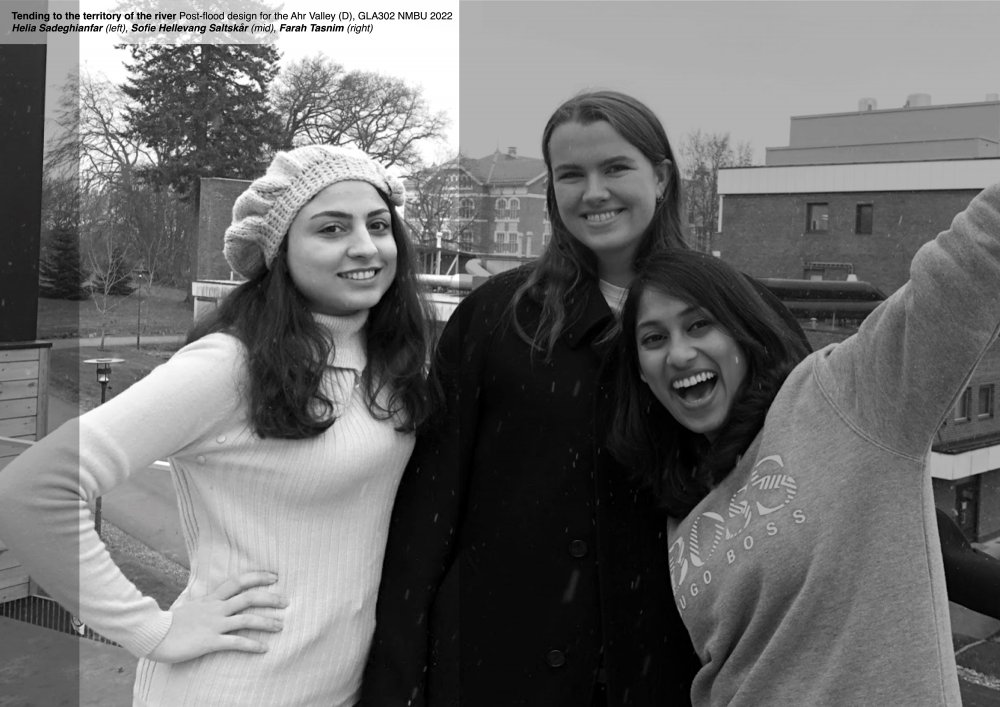
Helia Sadeghianfar:
Around 500 half-timbered houses in the Ahr Valley were affected by the flood. What remained were mostly houses that were only flooded on the ground floor.
The flood protection methods were selected according to building types, their height and the flood level. When protecting the historic half-timbered houses against flooding, it is important to preserve the historic character of the building. In particular, the existing building structure, materials and appearance are to be preserved and respected. Since the villages in the Ahr Valley are not particularly rich communities, the flood protection measures should not be too expensive for them.
Scroll to view entire presentation:
Sofie Hellevang Saltskår:
The first thought was to suggest moving buildings from the flood plain to a higher level.
The reality is the opposite, people will not leave their homes.
We have developed the following flood protection
concepts:
Zone 1: Most affected area. Avoid new construction projects. The remaining houses in the area should be waterproofed.
Zone 2: Danger zone. Two story or split level homes are recommended.
Zone 3: Water rose to the second floor. Buildings were damaged. Dry flood protection is proposed.
Zone 4: Lowest flood level. Less affected area. Dry flood protection is recommended as the best strategy.
Scroll to view entire presentation:
Farah Tasnim:
The flood of 2021 surpassed all previous flood events. Despite the recent devastating floods, people are rebuilding their homes on the same site.
The valley was divided into zones according to the flood levels in different areas. The area near the river was massively flooded and most of the buildings were destroyed. It is not recommended to build near the river, but it can be suggested to develop the zone with public spaces and floodable gardens. For the area where the flood level was less high, wet flood defenses and a floodable basement are recommended.
Scroll to view entire presentation:
Gnaala Zcirthy Meenilankco Theiventhran:
July 2021 floods in Bad Neuenahr-Ahrweiler have offered an opportunity to initiate a strategic transformation process and strengthen disaster resilience.
The proposed sponge measures hold water locally, are safer in sudden downpours and potential floods, and are more resistant to water stress, droughts, and heat waves. The more water is stored, the more significant the evapotranspiration and, therefore, the less severe the urban heat island effect. Such ‘absorbent’ urban areas also reduce the pressure on natural aquatic ecosystems. Nature-based solutions proposed for Bad Neuenahr-Ahrweiler are cost-effective and sustainable alternatives to conventional carbon-intensive urban development.
Scroll to view entire presentation:
Alicia Jassner:
The Ahr River, nicknamed the ‘wild daughter of the Rhine’ drowned most of the villages of the Ahr valley in water, sediment, and debris.
To counterbalance the conditions leading to flash floods, the communities of the Ahr Valley can
implement sponge solutions to retain water in the landscape, and slow the increase in peak discharge. The sponge city concept demonstrates how urban spaces can be transformed to retain water while remaining functional public places, by implementing thousands of small and large sponge interventions in the urban context. Every drop that is held back, helps to reduce floodwaters downstream.
Scroll to view entire presentation:
Kristian Solgård:
Bad Neuenahr-Ahrweiler has many areas of low porosity and retention. From these roots came the idea of a thousand possibilities.
The concept we have been working with to prepare the Ahr Valley for future inevitable floods is about possibilities, thousands of possibilities. It was important for us to find a strategy — ‘Making room for the river through failsafe sponges’ — that prioritizes the entire valley. By analyzing land use, watershed and settlement, we now see these opportunities. Our focus in and around the Ahr Valley covers an area of around 251 square kilometers.
Scroll to view entire presentation: