In his doctoral research, Habitamu Taddese Berie studied the role of analysis methods using remotely sensed data for improving forest information in Ethiopia. The findings indicate that these methods enhanced estimation efficiency.
Motivation & purpose: Insufficiency of field-based forest assessment methods for REDD+ MRV
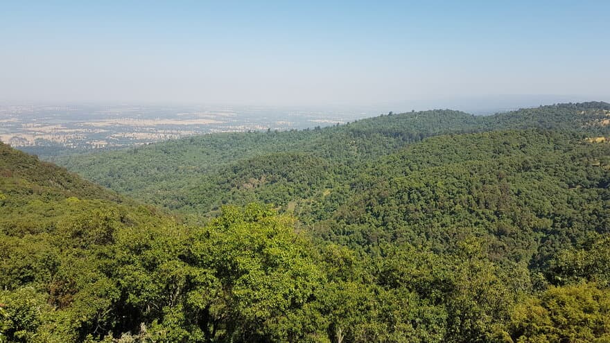
In spite of the fact that they provide reference data for calibration and validation, field-based data sources have limitations of efficiency. Recent studies indicated that the use of remotely sensed data can support to narrow down such limitations and improve efficiency. Efficient methods need to be developed to enhance the quality of forest information to help meet international standards. Therefore, this research emphasized on exploring the possibilities to improve the quality and accessibility of forest information in data-scarce regions of the world like the current study area.
The motivation for this research was the increasing need for standardized information communication for the REDD+ schemes as stipulated by the international community to combat the impacts of the climate change.
Important results
The study has identified that the recent advances in remote sensing technologies like the unmanned aerial system make them suitable for generating accurate forest information, which can be used for calibration and validation of coarser resolution images. Furthermore, the study has revealed that the use of different analysis techniques using high and medium resolution optical remotely sensed data is suitable for biomass, canopy cover and forest area estimation. The research results indicated that pixel resolution has direct relationship with precision of forest area and canopy cover estimation using manual interpretation of satellite images. It has also shown that the use of sentinel-2 images, which have many spectral bands, improved model-assisted biomass estimation more than the Landsat-8 and PlanetScope images did. The study also showed that the use of the central section of skyward-looking in situ digital photographs offered a precise canopy cover estimation.
Impact of the research
The research has multiple benefits to the forestry sector. It will support improvement of further research in the field of forest resource assessment in tropical areas. The methods will contribute to maintaining the quality of forest information demanded by the REDD+ measurement, reporting and verification (MRV) schemes. It will also contribute to serving as a reference for further research in the field.