About us
Master theses from the VR Lab
Equipment, Booking and Prices
Advanced 3D Tools for Design and Planning
Selected publications
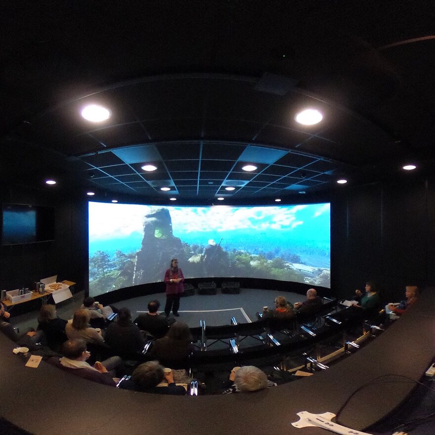
Media, Videos and Presentations


News

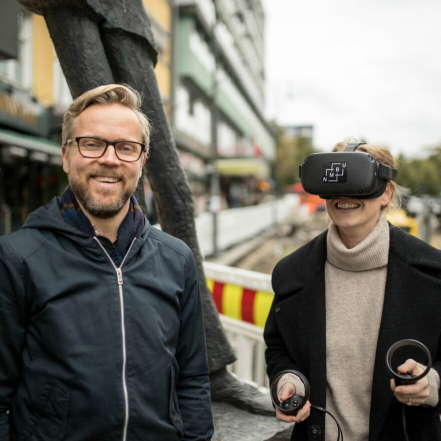
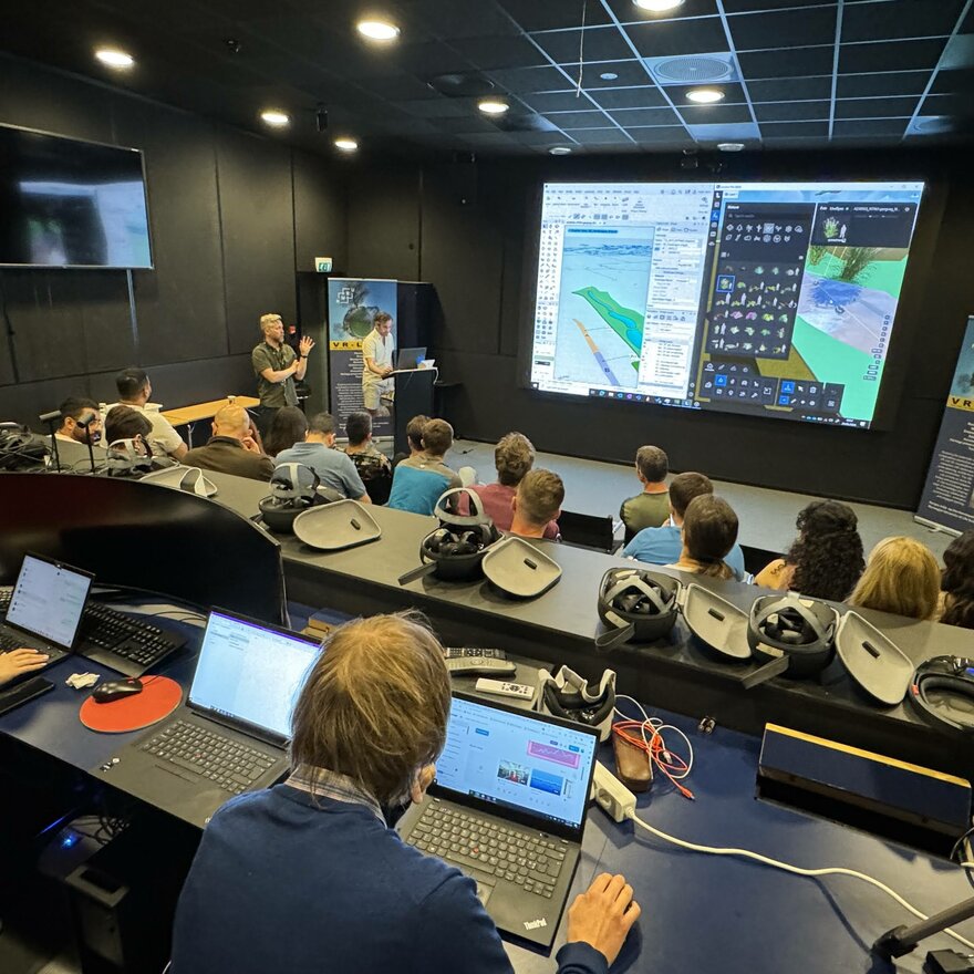
An experimental pilot developed by VR-Lab and the LAA341 course at NMBU was presented at a recent NLA workshop in Oslo, where students and teachers shared experiences from exploring how AI and VR can support landscape architecture design, communication, and critical reflection.

The VR-Lab was featured in the German television science programme NANO on 3sat, broadcast on 11 March 2026, in the televised report “Sind Altbauten objektiv schöner?” The programme explored public responses to contemporary architecture and the renewed appeal of traditional building styles.

VR-Lab is participating in the FORWARD Erasmus+ project, an international initiative focused on strengthening urban resilience through open science, education, and community engagement in war-affected regions. The lab leads the integration of VR and AI technologies into resilience training, contributing immersive and data-driven methods to interdisciplinary education.

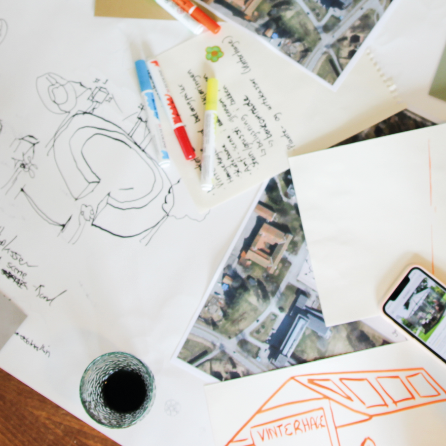
Through rapid experimentation and immersive storytelling, students tested how AI and spatial computing can act as a creative partner in re-imagining Porsgrunn’s urban landscape, helping them explore alternative futures, communicate design intentions more effectively.

At the 11th International Conference on Higher Education Advances (HEAd’25) in Valencia, Ramzi Hassan presented a research paper on how Virtual Reality enhances learning in landscape architecture, using case studies that demonstrate how immersive technologies support spatial understanding, design communication, and student engagement in higher education.
VR-Lab contributes to a new article that emphasizes the importance of integrating public preferences and emerging technologies in architectural and urban planning to create environments that promote health and well-being.
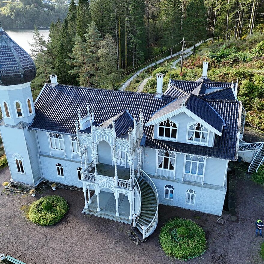
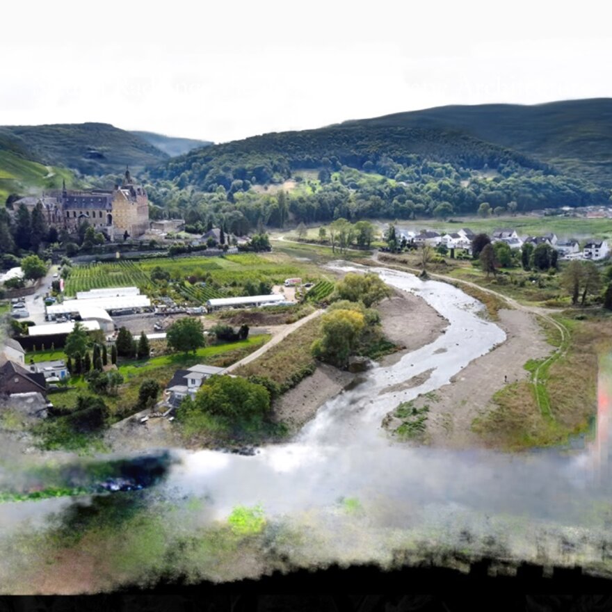
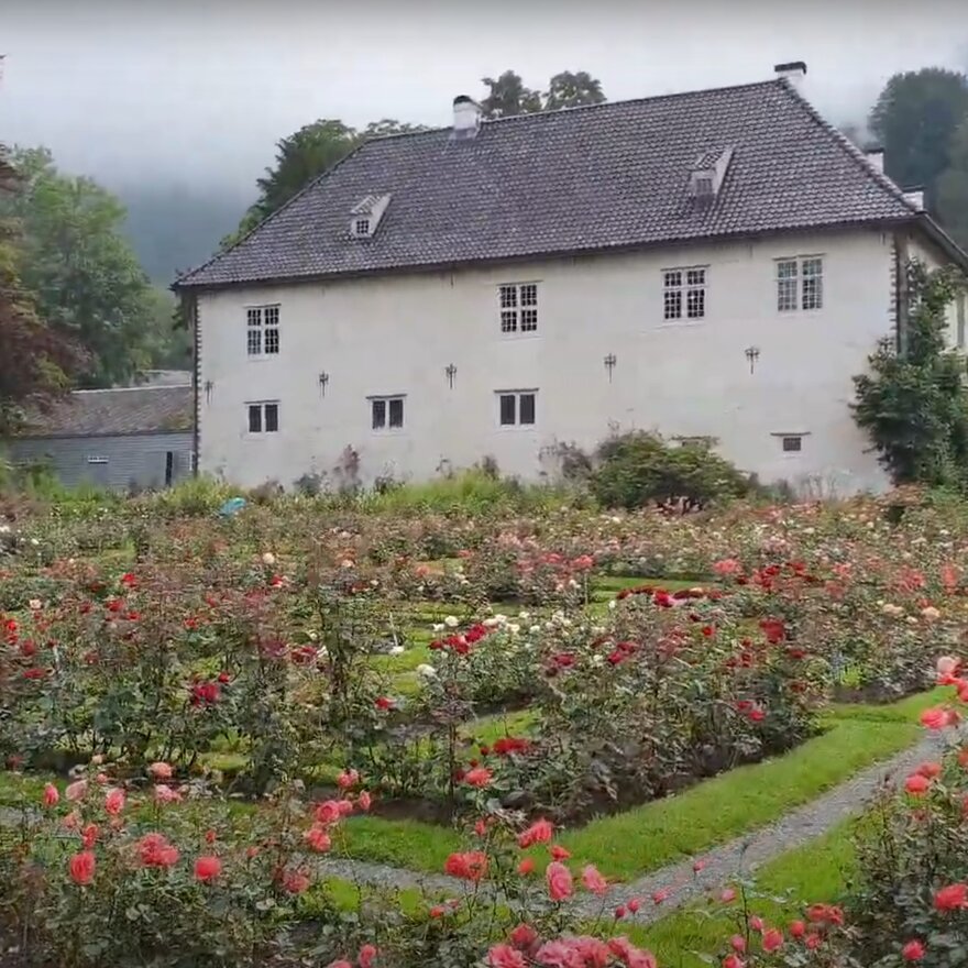
Students from the Landscape History and Visualization Technology courses recently completed an engaging project focused on Lysøen, the historic landscape park near Bergen that was once home to 19th-century Norwegian violinist and composer Ole Bull. A central figure in shaping Norway’s cultural identity, Bull envisioned Lysøen as a place where art and nature intertwined harmoniously.
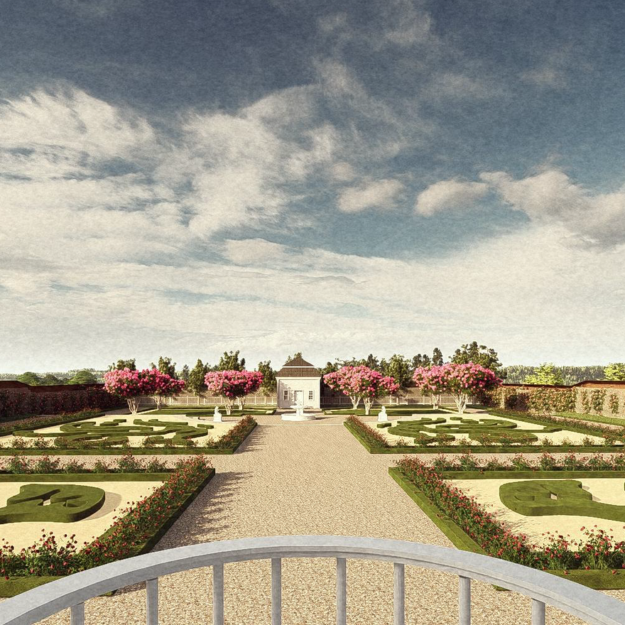
Trude Stabu and Vivel Skarvatun have successfully completed their master theses, breathing new life into the historical park of Store Ullevål in Oslo. Their detailed research and innovative visualizations provide a vivid reconstruction of the park's grandeur around 1800, offering valuable insights into the legacy of John and Tina Collett.
The VR-Lab hosted a seminar for the Waterline project. Bringing together professionals and associated partners from 11 European countries, the workshop aimed to enhance collaboration and knowledge sharing in the field of water innovation across Europe.
Julie Jebens Bakke has completed her Master’s study in Landscape Architecture, titled "Visualizations for Sustainable Landscape Design." Julie's research explores the critical role of visualization in promoting sustainable landscape design, an increasingly important aspect in addressing global environmental challenges
Latest publications update from the VR-Lab: Three studies are published in the Journal of Digital Landscape Architecture (JoDLA, Spring 2024). These studies represent advancements in geodesign, heritage preservation, and educational methodologies within landscape architecture.
Empowering Communities through Visualization Technology: A Glimpse into VR-Lab's Presentation at Trearkitektur 2024 Conference. Representing the VR-Lab, Ramzi Hassan delivered a talk at the conference showcasing the intersection between technology and community empowerment, emphasizing the need to focus on the meaningful applications of visualization technologies.
The VR-Lab has successfully secured a grant of 1 MNOK as part of strategic funds for advanced scientific equipment. This achievement marks an important milestone in our journey towards enhancing research and educational capabilities within our virtual reality ecosystem.

Maximilian Schob presented his final PhD seminar on his research topic, 'Models for Spatial Data Landscapes: Geospatial Data Models for Landscape Architecture and Geodesign. His research investigates the dynamic fusion of remote sensing technologies and spatial design practices.

A midway seminar for PhD candidate Eirik Nilsson Gundersen was held, marking a significant milestone in his research journey. His research topic, titled "Digital Twin Technology meets spatial planning practice: knowledge basis, conceptualisation, implementation," brought together scholars, experts, and enthusiasts to explore the intersection of digital technology and spatial planning.
VR-Lab's Insights at SITRAP 2023 conference: Exploring Digital Technology's Role in Education. The VR-Lab participated in the SITRAP 2023 autumn conference through a panel discussion on the topic of 'Navigating the Intersection of Digital Technology and Practical Competence in Education'. Check the key takeaways from this contribution.
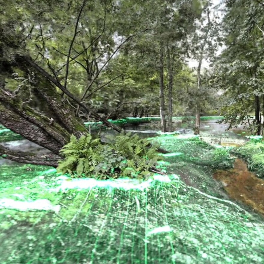
VR-Lab's publications highlights from the first half of 2023: Redefining Landscape Architecture with Lidar and NeRF technologies. The VR-Lab Research Group is contributing to the realm of digital landscape architecture with two new publications. These two articles, authored by Maximilian Schob, Luis Callejas, and Jörg Rekittke, present innovative approaches that promise to revolutionize the field.
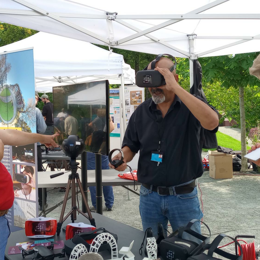
VR-Lab Celebrates Innovation and Exploration at the NMBU Summer Event. The VR-Lab participated in the NMBU Summer Event with a stand showcasing our cutting-edge research projects. We had the pleasure of engaging in conversations with our guests and sharing our fascination with the potential of these groundbreaking technologies for research, education, knowledge communication, and collaboration.
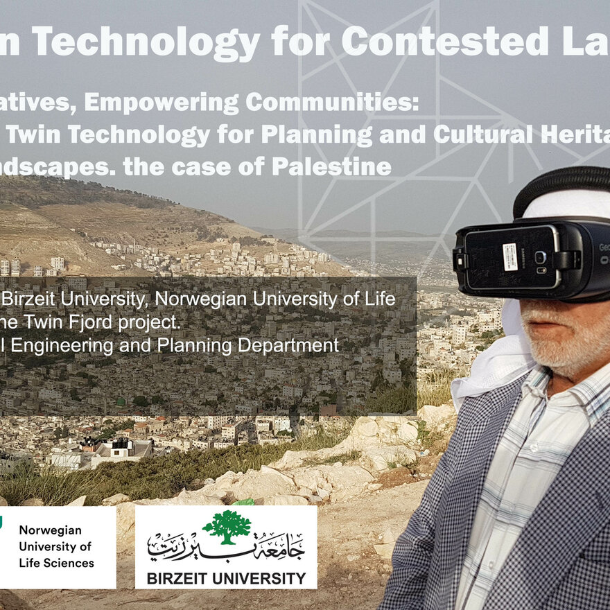
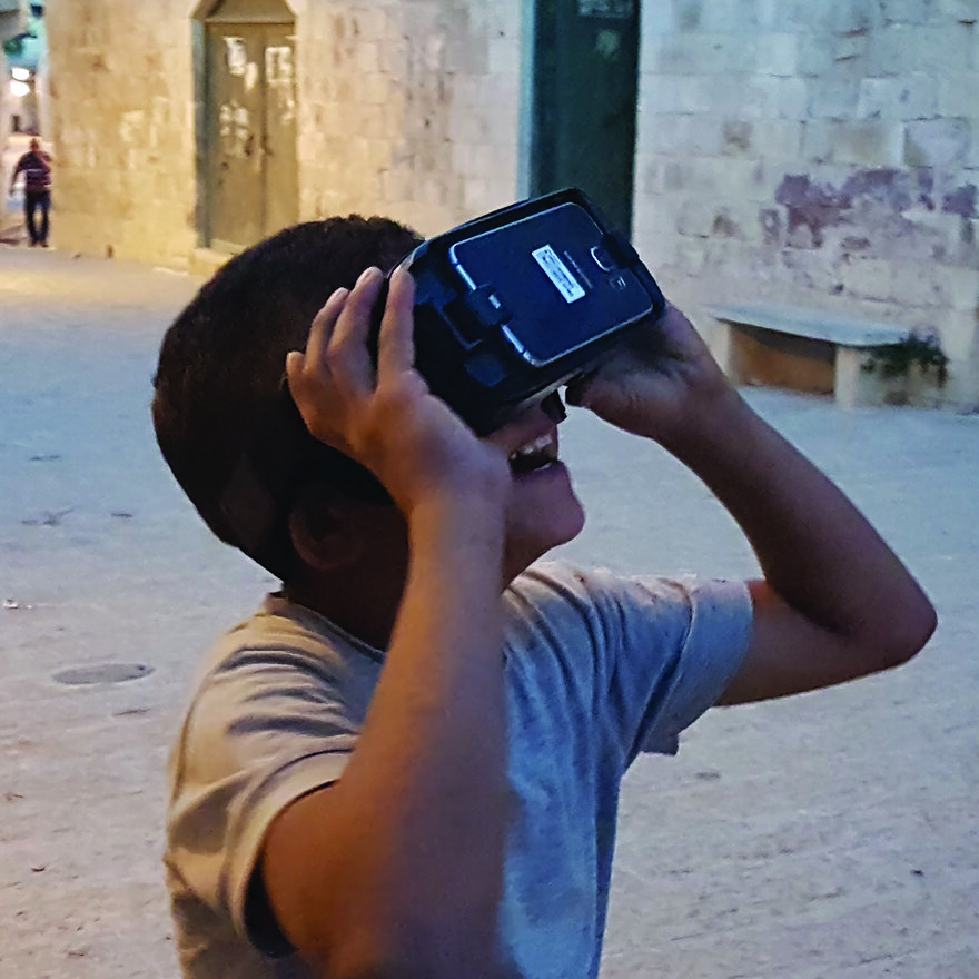
Digital Twin Technology for Contested Landscapes. VR-Lab at NMBU organized during the summer of 2023 the first global workshop on "Digital Twin Technology for contested landscapes" which was held at Birzeit University in Palestine as part of the Twin Fjord project. The workshop generated valuable outcomes, including strengthened collaboration as experts, researchers, and students connected for potential future partnerships.
Virtual reality and public participation in the evaluation of landscape planting design. Master student Marius Ellefsen investigated whether VR technology is viable in evaluation of digital landscapes in public participation processes in Norway. This master study could help landscape architects evaluate the effectiveness and usefulness of VR as a new tool for the public evaluation of different planting designs.
Virtual Tours library for historically important landscapes. NMBU's Virtual Reality Lab shared their work on the use of VR for creating tours of historically important landscapes at the European Council of Landscape Architecture Schools conference 2021. Introducing a new approach that enable educators, researchers and students to observe and understand the complications of historical site interactively and dynamically and provide a comprehensive historic experience of them.
NMBU's VR-Lab in a new publication on perceived safety in urban parks. New study combines the use of field and Virtual Reality experiments to evaluate safety measures in green space management and perceived safety.
Teaching history of gardens art and landscape architecture through Virtual Reality. During the autumn of 2020, Annegreth Dietze-Schirdewahn from the Theory and History Research Group in collaboration with Ramzi Hassan from VR-Lab started experimental project with students focused on the implementation of VR technology for studying historical gardens with Baroniet Rosendal in Norway as case study.
Developing new technologies for land use planning in historically important landscapes. VR-Lab in a new project to develop digital and visual solutions that support sustainable spatial planning and management.
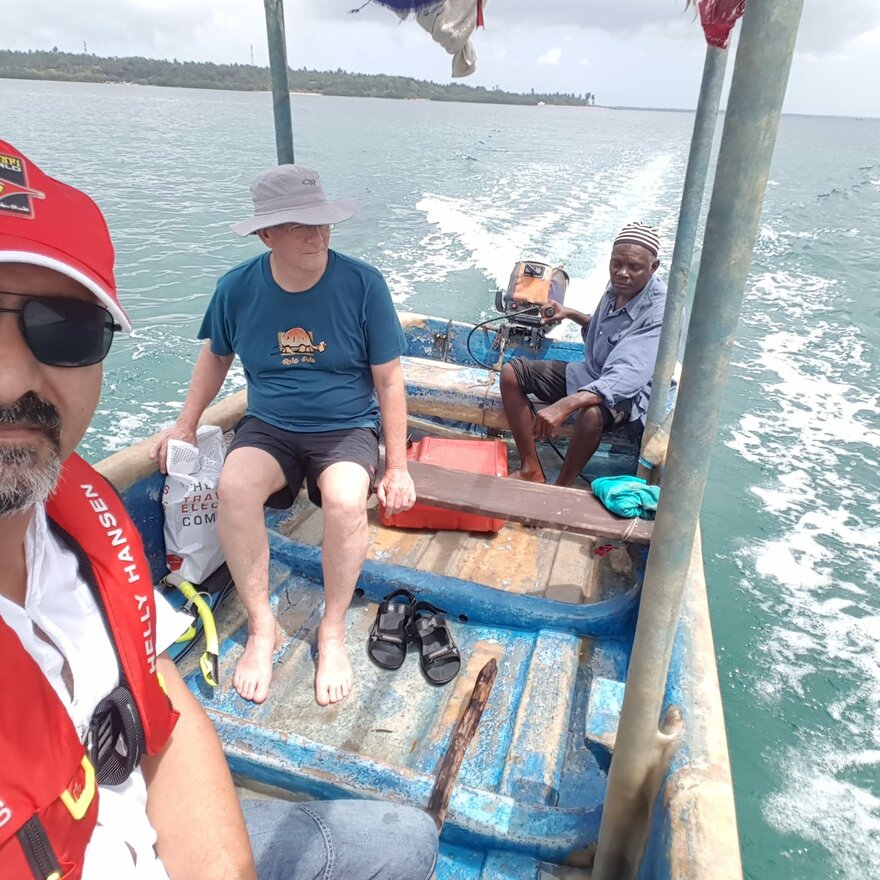
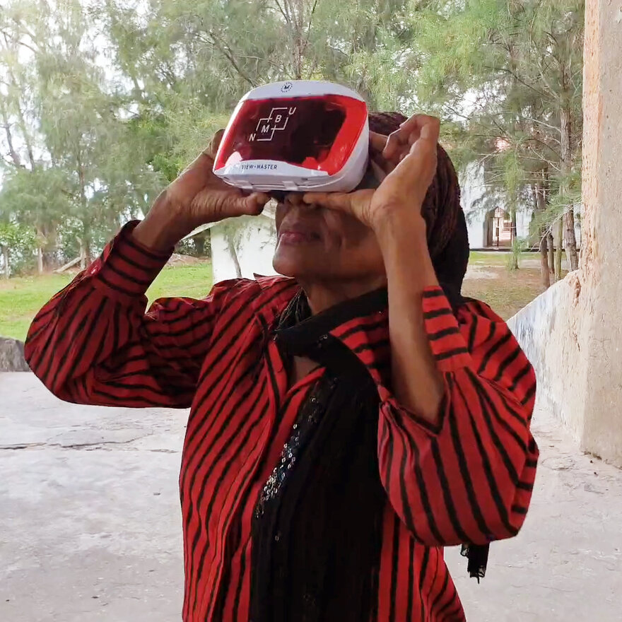
Documentation of underwater cultural heritage. Marine ecologist Ian Bryceson joins forces with the VR lab to develop and test 3D digital solutions that enable the public better access to underwater cultural heritage in Tanzania.
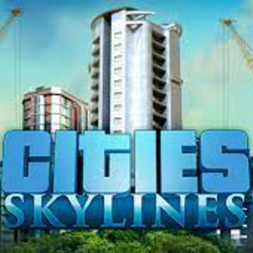
Computer games as a tool for spatial planning. City-building computer games sparked the interest of urban planning master students Andreas Bjørne Jacobsen & Martin Reigstad. Their Master's research was on gamification in urban planning.
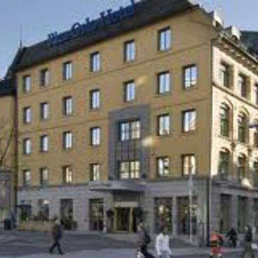
Traditional architecture gives better sense of well-being than contemporary glass and steel buildings. With the help of VR technology, researchers from the Norwegian University of Life Sciences (NMBU) have studied people’s experiences and feelings related to different streets and public squares in Oslo.
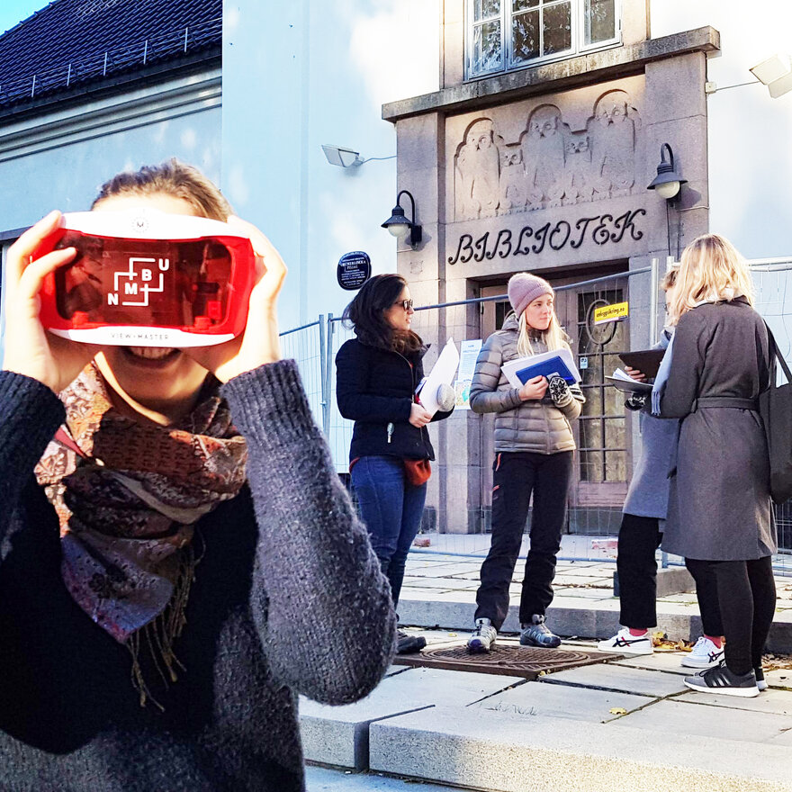
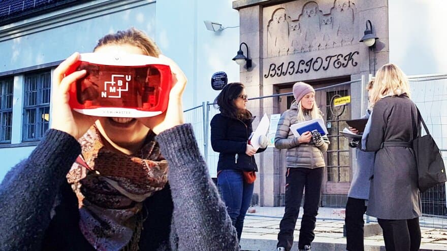
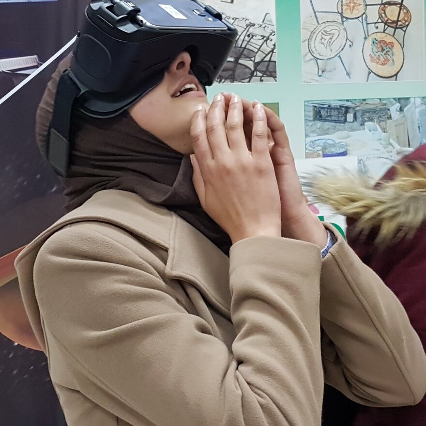
On-site experimentation with Smartphone-based VR solutions. Students conducting on-site experiments using VR technology in order to investigate ways to disseminate information and to engage citizens in landscape design discussions.