Marie-Claude Jutras-Perreault’s doctoral work shows that we can use remotely sensed data to assess biodiversity and detect changes in forest ecosystems over large areas.
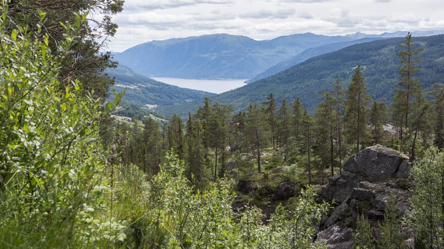
Forests are important ecosystems on Earth and essential for human well-being and economic prosperity. Increased pressure on global forest resources has led to the degradation of forest ecosystem conditions and biodiversity loss.
“In order to achieve sustainable forest management, we need to know where the areas with high conservation value are,” PhD candidate Marie-Claude Jutras-Perreault explains.
Examples of such values are high levels of biodiversity, undisturbed forest, and rare species.
“Sustainable management requires quality monitoring efforts,” she continues.
Suitable for detecting standing dead trees
In her PhD, Jutras-Perreault has examined the possibilities of using remotely sensed data to assess condition and changes in Norwegian forest ecosystems.
“The presence of standing dead trees and natural forests are indicators of forest in good condition as they are closely associated with higher biodiversity,” she says.
The results indicate that medium to high accuracy can be achieved when predicting the presence of standing dead trees.
“There was a more modest accuracy when predicting the presence of natural forests.”
Standing dead trees were identified using a combination of lidar data and aerial or satellite images, while natural forests were detected using lidar-derived variables describing the vertical and horizontal distribution and complexity of the forest cover.
Detecting forest cover changes
Jutras-Perreault has also examined how accurate remotely sensed data are in detecting forest cover changes.
“Monitoring forest cover changes through remote sensing technology provides valuable information on the extent and intensity of the pressures exerted on forests,” she comments.
Jutras-Perreault has also compared two algorithms, LandTrendr and Global Forest Watch, to detect clear-cuts using time-series of Landsat images. Both algorithms achieved high accuracy, but LandTrendr outperformed Global Forest Watch in identifying and monitoring clear-cuts in Norwegian managed forests.
Linking technology to forest management
Jutras-Perreault’s research demonstrates the potential of remotely sensed data in predicting the presence of standing dead trees and natural forests, as well as detecting forest cover changes over large areas.
“This information is crucial for making well-informed decisions regarding conservation efforts and implementing more effective forest management strategies,” she says.
Marie-Claude Jutras-Perreault, Faculty of Environmental Sciences and Natural Resource Management (MINA), will defend her PhD thesis “Assessing condition and changes in forest ecosystems using remotely sensed data”, Friday the 25th of August 2023. Trial lecture and defense are open to all. More information about the event here.