Department of geomatics:
The Department of Geomatics offers a bachelor program, a five-year masters program and a PhD education in geomatics. We consist of approx. 15 people, including PhD fellows.
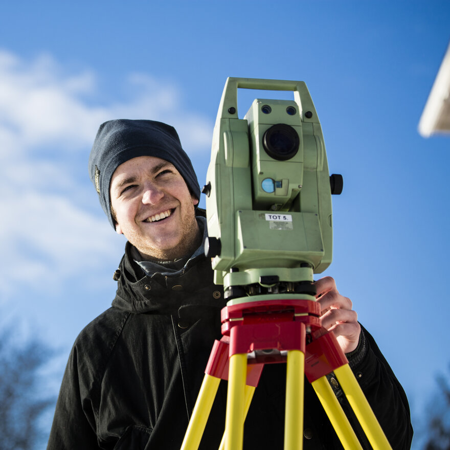
Geomatics combines traditional map subjects with information technology. This can involve everything from measuring and collecting data, to visualisation, modeling and use.
Geomatics can be used to develop technological solutions such as GPS on your phone, build satellites that measure the globe down to the millimeter and to measure changes in glaciers and sea level.
Our research and education offers are specialized in:
- Geo informatics
- Geodesy
- Remote sensing
Study programs:
- Geomatics (bachelor program, three years)
- Geomatics (civil engineer - master in technology, five years)