- Institutt for geomatikk
My research focuses on Global Navigation Satellite Systems (GNSS), such as GPS, and on parameter estimation and quality control. This includes methods, algorithms and software for applications in geomatics.
I currently teach courses in satellite geodesy, parameter estimation and applied geomatics.
Liste med publikasjoner fra min forskning. (Cristin)
PhD thesis:
Øvstedal, O., (2001), A Study of Some Aspects Concerning Georeferencing with the Global Positioning System, Doctor Scientiarum Thesis 2001:2, Agricultural University of Norway. ISSN 0802-3220, ISBN 82-575-0450-5.
Papers published in internationally reputed periodicals which have been subject to referees’ assessment:
Øvstedal, O., (1999), “Nøyaktig” posisjonsbestemmelse med GPS uten bruk av referansestasjon, KART OG PLAN, Vol. 59, Nr.2 1999, pp. 210-216. (in Norwegian)
Øvstedal, O., (2000), Single Processed Independent and Trivial Vectors in Network Analysis, Journal of Surveying Engineering, Vol. 126, No. 1 2000, pp. 18-25
Næsset, E., Bjerke E., Øvstedal O., Ryan L., (2000), Contribution of Differential GPS and GLONASS Observations to Point Accuracies under Forest Canopies, Photogrammetric Engineering & Remote Sensing, Vol. 66, No 4 2000, pp. 403-408.
Eiken, T., Omang, O.C.D., Øvstedal, O., (2001), A local geoid in Dronning Maud Land – The NARE 96/97 geoid, IGeS Bulletin N. 11, pp. 30-48.
Øvstedal, O., (2002), Absolute Positioning with Single-Frequency GPS Receivers, GPS Solutions, Vol. 5, No. 4, pp. 33-44.
Kjorsvik, N.S., Ovstedal, O., Svendsen, J.G.G., Blankenberg, L.E., (2005), A Multi-Base-Station approach for long range differential GNSS positioning of airborne sensors, International Association of Geodesy Symposia; 128, Berlin: Springer, pp. 71-76
Castleden, N., Hu, G.R., Abbey, D.A., Weihing, D., Ovstedal, O., Earls, C.J., Featherstone, W.E., (2004), First Results from Virtual Reference Station (VRS) and Precise Point Positioning (PPP) GPS Research at the Western Australian Centre for Geodesy, Journal of Global Positioning Systems, Vol.3, No.1-2, 2004, pp.79-84.
Hu, G., Abbey, D.A., Castleden, N., Featherstone, W.E., Earls, C., Ovstedal, O., Weihing, D., (2005), An Approach for Instantaneous Ambiguity Resolution for Medium- to Long-range Multiple Reference Station Networks, GPS Solutions, Vol. 9, No. 1, pp. 1-11
Timmen, T., Gitlein, O., Müller, J., Denker, H., Mäkinen, J., Bilker, M., Wilmes, H., Falk, R., Reinhold, A., Hoppe, W., Pettersen, B.R., Omang, O.C.D., Svendsen, J.G.G., Øvstedal, O., Scherneck, H.-G., Engen, B., Engfeldt, A., Strykowski, G., Forsberg, R., (2005), Observing Fennoscandian geoid change for GRACE validation, Proceedings of the Joint CHAMP/GRACE Science Meeting, New Satellite Mission Results for the Geopotential Fields and Their Variations, GeoForschungsZentrum Potdsdam , Germany. Edited by Christoph Reigber & Byron Tapley, Advances in Geosciences (ADGEO).
Kjørsvik, N., Øvstedal, O., Gjevestad, J.G., (2009), Kinematic Precise Point Positioning during marginal satellite availability, International Association of Geodesy Symposia; Vol 133, Springer, pp. 691-699.
Hu, G., Ovstedal, O., Featherstone, W.E., Castleden, N., Earls, C., Abbey, D.A., (2008), Using the Virtual Reference stations (VRS) concept for long-range airborne GPS Kinematic positioning, Survey Review Vol. 40, No 307, pp. 83-91.
Jensen, A.B.O., Ovstedal, O., (2008), The effect of different Tropospheric models on precise point positioning in kinematic mode, Survey Review Vol. 40, No. 308, pp. 173-187.
Tegedor, J., Øvstedal, O., (2014), Triple-carrier Precise Point Positioning (PPP) using GPS L5, Survey Review Vol. 45, No 337, pp. 288-297.
Tegedor, J., Øvstedal, O., Vigen. E., (2014), Precise orbit determination and point positioning using GPS, Glonass, Galileo and BeiDou, Journal of geodetic Science, Vol 4, Issue 1, pp. 65-73.
Tegedor, J., de Jong, K., Liu, X., Vigen, E., Øvstedal, O., Real-time precise point positioning using Beidou, (2015), Proceedings of the 2013 IAG Scientific Assembly, International Association of Geodesy Symposia, pp. 655-671.
Tegedor, J., Liu, X., Ørpen, O., Treffers, N., Goode, M., Øvstedal, O., Vigen. E., (2015), Comparison between multi-constellation ambiguity-fixed PPP and RTK for maritime precise navigation, Journal of Applied Geodesy, Vol 9, Issue 2, pp. 73-80.
Tegedor, J., Liu, X., de Jong, K., Goode, M., Øvstedal, O., Vigen. E., (2016), Estimation of Galileo Uncalibrated Hardware Delays for Ambiguity‐Fixed Precise Point Positioning, Navigation: Journal of the Institute of Navigation, Vol 63, Issue 2, pp. 173-179.
Øvstedal, O., (2020), A method to estimate a best fit trajectory from multiple individual trajectories, FIG Peer Review Journal, https://www.fig.net/resources/publications/prj/showpeerreviewpaper.asp?pubid=10252
Øvstedal, O., Arnell, J.T., Ingebrigtsen, I.F., Tangen S.W., Roald, B.E., (2022), A Comparison of survey-grade GNSS receivers by means of observation and coordinate domain approaches; traditional vs low-budgets, FIG Peer Review Journal, https://www.fig.net/resources/publications/prj/showpeerreviewpaper.asp?pubid=11320
Other publications:
Øvstedal, O. (1991), Litt om Global Positionig System GPS, Kompendium/forelesningsnotat, Landbruksbokhandelen Ås.
Øvstedal O., Blankenberg L.E. (1992), Etablering av TESTNETT FREDRIKSTAD, Geodesi-og Hydrografidagene 1992. 10 s.
Øvstedal, O. (1992), Prosessering av GPS faseobservasjoner, fra statisk til kinematisk modus, anvendelse under flyfotografering., Geodesi og Hydrografidagene 1992. 20 s.
Øvstedal, O. (1992), Adjustment techniques for the Navstar Global Positioning System; From static to kinematic mode, The Photogrammetric Journal of Finland, Vol. 13, No. 1, pp. 38-51.
Blankenberg, L.E., Øvstedal, O. (1993), Block Adjustment with GPS - Results from test flight FREDRIKSTAD, Proceedings 44th. Photogrammetric Week 1993, Wichman, Karlsruhe pp. 85-96.
Øvstedal, O. (1993), GPS i fotogrammetrien, Geodesi og hydrografidagene 1993, 13 s.
Øvstedal, O. (1993), Kinematisk GPS under flyfotografering, "Fotogrammetri i Fokus -93, Konferanse Ås-NLH, s. 45-54.
Øvstedal, O. (1994), Experience with kinematic GPS for photogrammetric purposes, FIG Commision 5, Melbourne, TS. 504.4, 11 pages.
Øvstedal O. (1994), Nye instrumenter og ny teknologi (GPS), NKTF-kurs "Grunnlagsnettet", Gardermoen 1994, 10 s.
Øvstedal O. (1994), Vekting av GPS-målinger, Geodesi og Hydrografidagene 1994, 8s.
Øvstedal O. (1994), Korreksjoner til GPS-målinger, Notat til EEU-kurset "Moderne Aerotriangulering med GPS, Institutt for landmåling, NLH, 19 s.
Øvstedal O. (1995), Praktisk bruk av GPS under flyfotografering i Indonesia, Kart og Plan, Nr. 2 1995, s.103-108.
Øvstedal, O. (1996), Kinematisk beregning av fase- og pseudorange observasjoner fra GPS, Geodesi og hydrografidagene 1996.
Øvstedal, O., Røste, P. B., Bekkhus, R. (1996), Digital mapping in Indonesia – Ground Control and Aerial Photogrammetry with Kinematic GPS, International Journal for Geomatics. Vol. 10. No. 2 1996.
Øvstedal, O. (1996), Experiencas con GPS cinemático en aplicaciones fotogrametricas, Topografia y Cartografia, ISSN 0212-9280, Vol. XIII. No. 73, pp. 50-63.
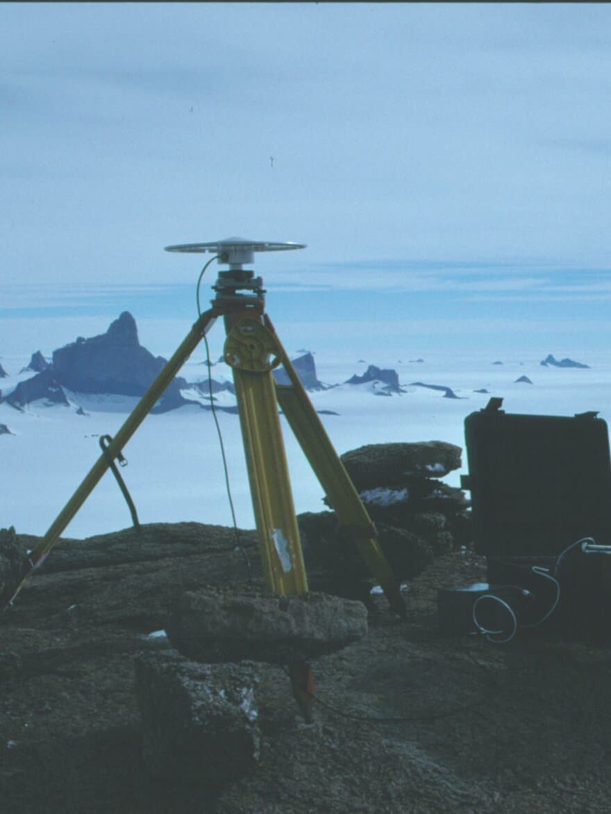
Barstad B., Eiken T., Finnes R., Øvstedal O. (1997), Geodetic measurements in Dronning Maud Land, in Report of the Norwegian Antarctic Research Expedition 1996/1997, NP Meddelser nr. 148.
Øvstedal, O. (1999), Absolute Positioning with GPS - An Accurate Alternative, Proceedings of ION GPS’99, September 14-17 1999, Nashville Convention Center, Nashville TN, USA. pp. 1014 - 1018.
Øvstedal, O., (2000), Satellittbasert stedfesting i skog - metoder og nøyaktighet, Landssamling for ingeniører i Jordskifteverket 2000, 8s.
Øvstedal, O., (2000), GPSPROG - En verktøykasse for analyse av GPS-observasjoner, Maankäyttö - Nordiskt Landmålingstidsskrift, 3/2000.
Øvstedal, O., (2000), Application of Empirical Ionospheric Models for Absolute Positioning with GPS, Geodesi og hydrografidagene 2000, 9. og 10. november 2000, Stavanger, 12 s
Øvstedal, O., Ofstad, A.E., Haustveit, K.T., Kristiansen, O., (2002), A Comparison between Absolute Positioning Methods and Differential Methods in a Maritime Environment, Proceedings of ION GPS’02, Institute of Navigation, USA, pp. 2304 – 2310.
Kjørsvik, N., Øvstedal, O., Svendsen, J.G.S., (2002), Estimating Local Ionosphere Parameters in Norway, Proceedings of ION GPS’02, Institute of Navigation, USA, pp. 2679 – 2687.
Øvstedal, O., (2001), Infrastruktur for sanntidsmålinger med GPS, NJKF Meldingsbladet, 3/2001.
Øvstedal, O., (2001), Kvalitetssikring av eiendomsmålinger - Bruk av satellittbaserte metoder, Kart og Plan, Vol. 61, No. 1.
Øvstedal, O., (2002), Yrkesmessige konsekvenser av teknologiutviklingen, Gemini Brukerkonferanse 2002, Gardermoen, 8 s.
Svendsen, J.G.G., Øvstedal, O., (2002), Performance of the Observables Derived from Handheld Garmin GPS Receivers, Geodesi og hydrografidagene 2002, 14. og 15. november 2002, Stavanger, 9 s.
Strand, G.H., Øvstedal, O., (2003), Bruk av NGO-koordinater på håndholdte GPS-mottakere, Kart og Plan, Vol. 63, No. 1. pp. 19-27.
Øvstedal, O., Ofstad, A.E., (2002), Desimeter nøyaktighet ved kinematisk punktbestemmelse med én GPS-mottaker, Kart og Plan, Vol. 64, No. 1. pp. 10-19.
Radzeviciute, K., Kjorsvik, N, Ovstedal, O., Svendsen, J.G.G., (2003), A Comparative Evaluation of Various RTK Systems’s Performance Under Operational Conditions, Proceedings of ION GPS/GNSS’02, Institute of Navigation, USA
Kjorsvik, N., Ovstedal, O., Svendsen, J.G.G., (2003), Evaluation of a Multi-Base-Station Differential Approach, Proceedings of ION GPS/GNSS’02, Institute of Navigation, USA.
Castleden, N., Hu, G.R., Abbey, D.A., Weihing, D., Ovstedal, O., Earls, C.J., Featherstone, W.E., (2004), Recent Results of Long-range Airborne Kinematic GPS Positioning research at the Western Australian Centre for Geodesy, Proceedings of the 2004 International Symposium of GNSS/GPS, Sydney Australia. 9 pages on CD-ROM.
Svendsen, J.G.G., Øvstedal, O., Mathisen., O., (2004), Kvalitetssikring av satellittbaserte eiendomsmålinger, Project report, Department of Mathematical Sciences and Technology, Norwegian University of Life Sciences, 20 pages.
Ofstad, A.E., Øvstedal,O., (2005), Fra DGPS til ABSPOS – Hvor god blir høyden til havs, Tekna-conference Havbunnskartlegging og inspeksjon, 9/2-11/2.2005, Geilo, pp. 1-12, CD-ROM.
Kjørsvik, N., Radzeviciute, K., Svendsen, J.G.G., Øvstedal, O., (2005), A software-based GNSS simulator for research and education, Kart og Plan, Vol. 65, No. 2, pp. 84-86.
Hegstad, E., Maalen-Johansen, I., Rolstad, C., Sevatdal, H., Steinsholt, H., Øvstedal, O., (2006), Utdanning av eiendomslandmålere ved UMB, Kart og Plan, Vol. 66, Nr. 1. pp. 39-45
Ovstedal, O., Gjevestad, J.G.O., Kjorsvik, N., (2006), Surveying using GPS Precise Point Positiong, Proceedings FIG XX Congress, TS. 43.3, 2006, Munich, Germany, available at http://www.fig.net/pub/fig2006/papers/ts43/ts43_03_ovstedal_etal_0612.pdf
Kjorsvik, N., Ovstedal, O., Gjevestad, J.G.O., (2006), Handling of the Tropospheric delay in Kinematic Precise Point Positioning, Proceedings of ION GNSS’06, Institute of Navigation, USA.
Gjevestad, N., Øvstedal, O., Kjørsvik, N., (2007), Contribution of GLONASS and GALILEO to Kinematic GPS Precise Point Positioning, Proceedings of ION GNSS’07, Institute of Navigation, Ft. Worth, Texas, USA, pp. 876-882.
Jensen, A., Øvstedal, O., Grinde, G., (2007), Development of a Regional Ionosphere Model for Norway, Proceedings of ION GNSS’07, Institute of Navigation, Ft. Worth, Texas, USA, pp. 2880-2889.
Gjevestad, J.G.O., Øvstedal, O., Kjørsvik, N., (2007), En forundersøkelse av kombinert GPS, GLONASS og GALILEO for kinematisk presis punktbestemmelse (PPP), Kart og Plan, Vol. 100, Nr. 2 2007.
Jensen, A., Øvstedal, O., Grinde, G., (2008), Development of a Regional Ionosphere Model for Norway, Proceedings of ION National Technical Meeting, Institute of Navigation, San Diego, California, USA, pp. 893-902.
Poster presentations at international conferences:
Eiken, T., Omang, O.C.D., Øvstedal, O. (1999), A local geoid in Dronning Maud Land,
European Geophysical Society (EGS) XXIV General Assembly, The Hague, The Netherlands.
Müller, J., Timmen, L., Denker, H., Gitlein, O., Mäkinen, J., Bilker, M., Wilmes, H., Falk, R., Reinhold, A., Noppe, W., Pettersen, B.R., Omang, O.C.D. , Svendsen, J.G.G., Øvstedal, O., Scherneck, H.-G., Engen, B., Engfeldt, A., Strykowski, G., (2004), Observing Fennoscandian Geoid Change , 1st EGU General Assembly 2004, Nice, France. Abstract in Geophysical Research Abstracts, Volume 6, 02957, 2004.
Kjorsvik, N., Ovstedal, O., Pettersen, B.R., Svendsen, J.G.G., (2003), Ionospheric Estimation in Near Real Time, EGS-AGU-EUG Joint Assembly 2003, Nice. Abstract in Geophysical Research Abstracts, Vol. 5, 2003.
Tegedor, J., Melgard, T., Øvstedal, O., (2012), Precise Point Positioning for characterization of GPS L5 biases using M‐GEX data, Poster presentation at IGS Workshop 2012, Olsztyn, Poland, July 23-27, 2012.
Tegedor, J., De Jong, Kees, Liu,X., Vigen E., Øvstedal, O., (2013) Real-time Precise Point Positioning Using BeiDou, International Association of Geodesy Scientific Assembly, September 1-6, 2013, Potsdam, Germany, Abstract in Book of abstracts: (http://www.iag2013.org/IAG_2013/Welcome_files/abstracts_iag_2013_2808.pdf)